City maps and GIS

This page contains a collection of maps and geographic data with information on Helsinki. Among other things, the maps indicate places where you can cycle and swim, enjoy culture, park your vehicle, and carry out construction projects.  

Aerial view of Suomenlinna in the summer.
Image: Super Otus

All services of the City of Helsinki, from recycling points to basketball courts and dog parks

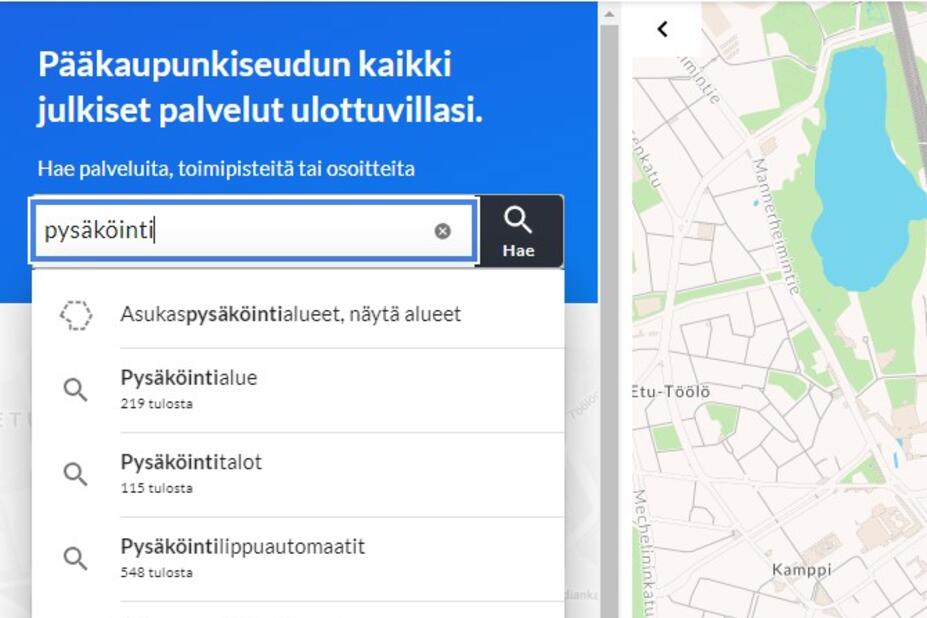
Helsinki’s Service Map shows the location and accessibility features of every City of Helsinki service, from recycling points to dog parks. Enter an address in the search field to find nearby services or write in the name of a service you are looking for to find the areas in which it is located. Default filters show the city’s designated areas for health, maternity clinic and pre-primary education services and nature conservation areas. Use the handy Services list to get to know the wide range of services and opportunities offered in the city!

Helsinki Service Map(Link leads to external service)

Kuvituskuva
Photo: Jussi Helsten

Maps for using public transport and getting around

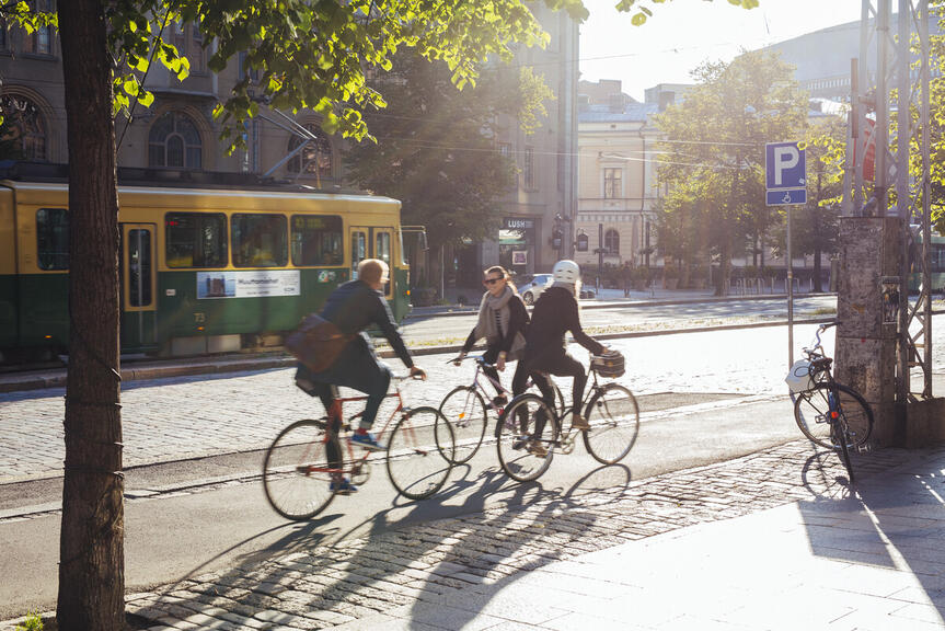
Regardless of whether you cycle, walk or use public transport to travel around the Helsinki region, the Journey Planner service can tell you how to get from point A to point B and how long the journey to your destination will take. If you are looking for information on cycling routes and cycling in Helsinki, see ‘Cycling routes’ under the ‘Urban environment and traffic’ section. 

Helsinki Region Journey Planner(Link leads to external service)

Cycling routes

Maps for summer and winter activities

Talviurheilua
Photo: Jussi Helsten

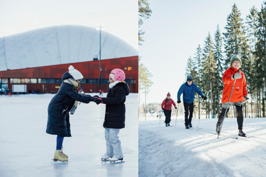
In the winter, you can use our Outdoor Exercise Map to track the current locations and conditions of municipally maintained cross-country ski trails. The same map also shows the city’s skating rinks and up-to-date assessments of the condition of the ice. The map allows you to filter the trails and rinks based on their condition, name (alphabetical order) and proximity. 

In the summer, you can use the ulkoliikunta.fi map service to find information on swimming areas and beaches in the Helsinki region. The map shows daily water temperatures, lifeguard hours and the blue-green algae situation at the beaches that are listed
.

Outdoor Exercise Map(Link leads to external service)

See also Helsinki area fishing grounds 2022 (PDF, in Finnish). 

Dive into a city of maps

Would you like to see the proposals of the City of Helsinki’s OmaStadi participatory budgeting service and see how residents have voted on them on a map? Where is the Helsinki city block called Pyöriäinen? Curious about the Helsinki City Plan’s protected buildings? Or how about the location of lighted areas or this year’s street and park projects? Which Helsinki district has the highest birth rate? 

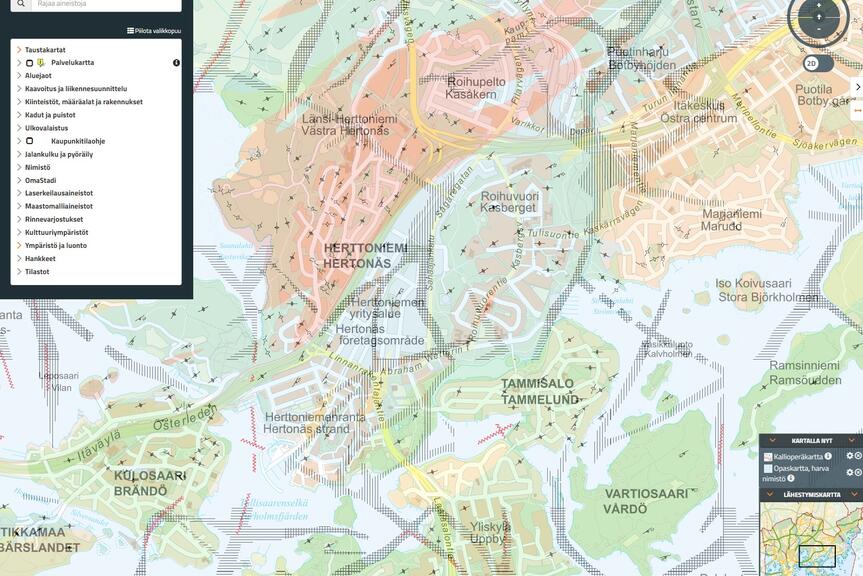
The City of Helsinki’s no-cost Map Service publishes the city’s internal and external datasets as map layers for everyone to explore. Use the search function to search for information or browse the lists of layers and datasets and see what you can find.  

Helsingin Map Service(Link leads to external service)