Description
Villinki is the largest and architecturally most notable villa island of Helsinki’s eastern archipelago – the entire island of Villinki has been designated a built cultural heritage site of national significance as part of the summer residences along Helsinki’s steamboat route.
The majority of Villinki is privately owned, with the City owning a few hiking and recreational areas on the island.The atmospheric archipelago path takes visitors from the boat landings to the heart of primeval forests and the magnificent Myrskykalliot (‘Storm Rocks’) located in the southeast part of the island, which provide a great view of the outer archipelago. The walk across the island is approximately two kilometres long.
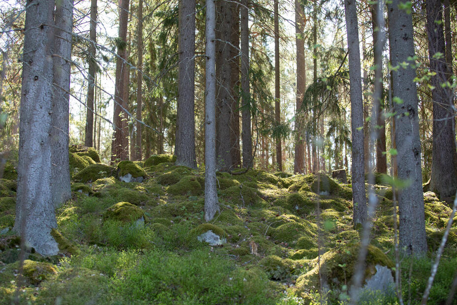
The topography of the island is varied. Villinki is rich in valuable natural sites, such as old forests.
The neighbouring island of Itä-Villinki is used by the Finnish Defence Forces and thus off limits.
Services
There is a new restaurant opened in 2024 and some saunas on the isthmus between Kylänlahti and Kristallilahti.
Villinki does not currently have any other public recreational services, such as outside toilets or cooking shelters. The destination is suitable for day trips.
General rules
In all outdoor recreation areas, observe everyman’s rights and rules and move responsibly in nature:
Services of the island on the map
Villinki does not currently have any public recreational services
